DY Lab has developed several specialized software tools to aid in airport planning, including:
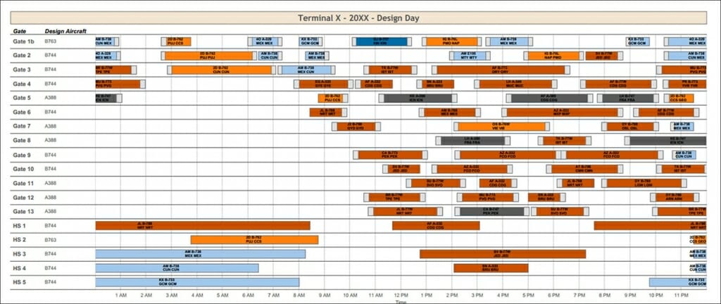
Aircraft Gating Mode
This tool is used to gate a flight schedule. It models the various gates and their associated restrictions and dependencies at an airport. The software runs an algorithm that generates an optimized and gated flight schedule. The end result is an efficient and informative visualization featuring an interactive Gantt chart and a customized display of information.

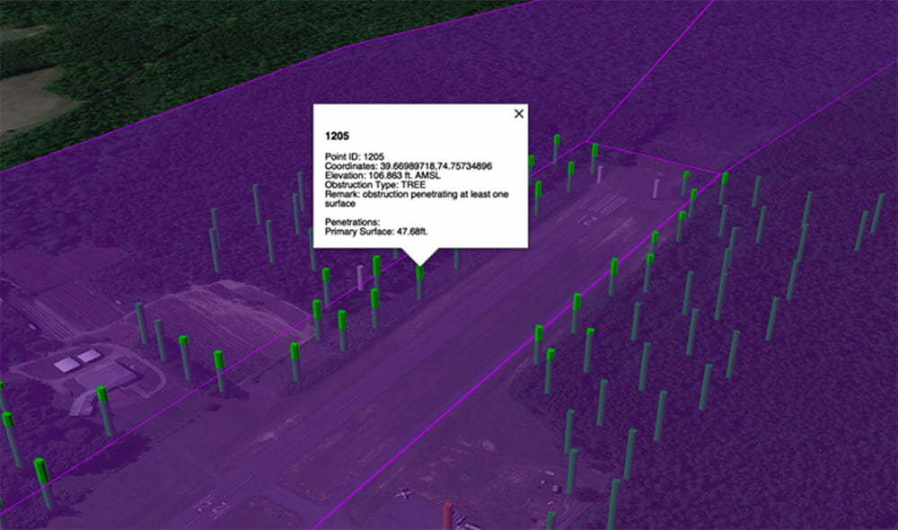
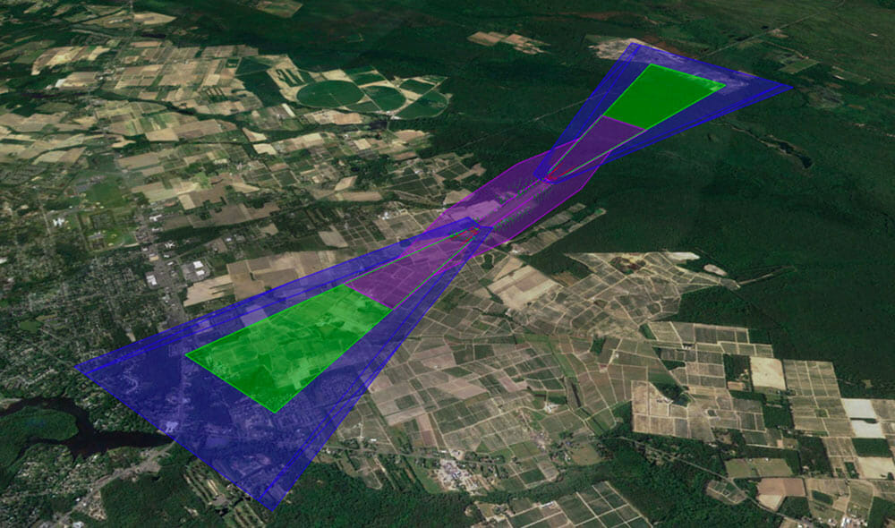
Airspace Obstruction Model
This modeling tool performs obstruction analyses for airports based on Federal Aviation Administration (FAA) regulations and airport design standards. The software inputs the results of an obstruction survey of an airport and its surroundings. It identifies existing and future penetrations to defined surfaces. These can include Part 77 primary and approach surfaces, Threshold Siting Surfaces and so on. The output can then be used by DY airport planners to prepare obstruction drawings in CAD and propose mitigation options to address the penetrations. It is also possible to use Google Earth to display results of surfaces and obstructions in 3D.


